Winter routes in northern Michigan attract many riders, and Lovells snowmobile trails are known for forest paths, stable snow cover, and clear navigation layout. These trails are located near the Lovells area and are usually used during peak winter months when grooming is active and conditions become consistent for long–distance recreational riding across connected regional corridors.
Lovells Snowmobile Trails System and Terrain Features
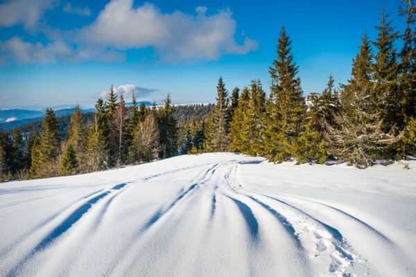
The Lovells trail system forms part of a larger northern Michigan snowmobile network, passing through state forest lands, frozen lakes, and gently rolling terrain. –Trail surface changes depending on snowfall and grooming frequency, but most routes remain suitable for touring–style riding rather than extreme technical travel. Markers and junction signs are placed regularly, which helps orientation even for riders with limited local experience.
Inside the system, riders can observe:
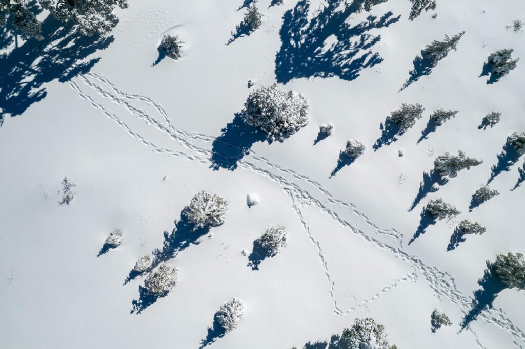
- forest corridors with protected snow layers
- Open lake crossings during safe frozen periods
- Connected loops for extended navigation
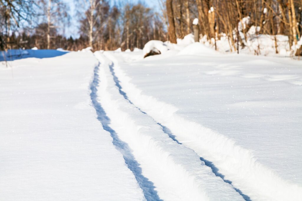
- maintained trail segments with periodic grooming
Short descriptions in regional guides mention that the Lovells Trail System is valued for its smooth connectivity and scenic woodland routes. This makes it a reference example of organized winter trail infrastructure in the northern Michigan recreational landscape.
Riding Conditions and Regional Snowmobile Access
Snow conditions in the Lovells area usually are stable because dense forests reduce wind influence and help keep snow depth more constant. The trees make natural protection, so snow stays longer and does not blow away fast. Trails often connect with routes close to Grayling, which allow longer winter travel without difficult detours or confusing turns. Access points are placed near parking zones and small road crossings, and this makes entry into the trail system simpler for seasonal riders and visitors.
Basic preparation for safe riding includes:
- checking trail condition reports before departure
- using updated maps for clear navigation
- keeping the snowmobile in proper technical condition
- respecting marked trails and environmental protection zones
The environmental context of these trails also has importance. Around the region, there are pine forests, wetland areas, and habitats of wildlife species, so discipline on the trail is necessary to avoid ecological disturbance. Riders are expected to remain on designated routes and follow seasonal regulations without exception. If someone leaves the marked path, damage to vegetation and soil can happen, especially during freeze and thaw periods.
Terrain difficulty in general is considered moderate level. Slopes are mostly gentle, and trail width gives enough space for controlled movement and safe passing. From an informational perspective, Lovell’s snowmobile trails represent a structured winter recreation network, where geography, climate pattern, and maintenance practice combine together to create stable seasonal mobility corridors.
Understanding the layout of trails, variation of terrain, and stability of snow cover gives a clear explanation of how the system functions and why it remains a reliable winter navigation route for recreational snow travel in the northern Michigan region.
Comments are closed